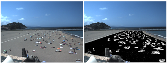

People density on the beach
A tool has been developed to measure occupancy density on beaches, using machine learning algorithms. In the context of COVID-19, this tool was adapted to provide real-time information on beach occupancy, in order to ensure compliance with the recommendations for beach capacity. The solution consists of an automated algorithm that measures the level of occupation in real time from the images of the network and displays the information through a mobile app (Nik Hondartzak). The information is simultaneously sent to the beach managers, who control access to the beach to ensure the recommended occupancy levels. This information is also used at the end of the season to evaluate beach attendance and describe usage patterns.
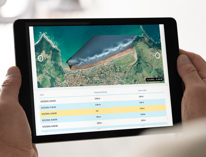
In the summer of 2024 Las Palmas de Gran Canaria has joined this technology by launching the LPA Beach application to provide real-time information on tides, occupancy, weather and services available on the beaches of Las Canteras, La Laja and Las Alcaravaneras.