KOSTASystem facilitates the acquisition of coastal process information from images. The software Kosta System is made up of 3 modules:
Kosta Acquisition
Kosta Acquisiton controls the generation and acquisition of data. In this module different parameters are configured:
- Station configuration
- Camera configuration
- Image acquisition frequency
- Camera association
- Image acquisition
- Periodic storage of images in jpeg format
- Image integration in the database (automatic FTP copy)
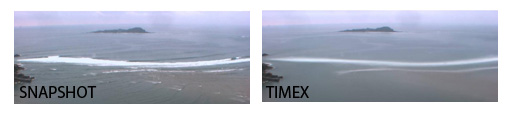
- Real time image visualization
“Snapshot“: Instantaneous picture.
“Timex“: Time exposure images.
Kosta Calibrage
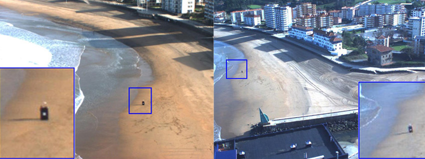
It is necessary to georeference and rectify the raw and oblique data to make a quantitative analysis of the images. This first treatment of images, founded on the principles of photogrammetry, converts the image coordinates (u,v) to their corresponding field coordinates (x,y,z).
The technique of photogrammetry requires the calculation of two types of parameter:
- Intrinsic parameters: Measured in the laboratory, the intrinsic parameters allow the correction of the geometric distortions of lenses.
- Extrinsic parameters, Geo-referencing: Obtained from in-situ referencing of control points by GCPs (Ground Control Points).
Kosta Imaging
 Kosta Imaging enables the management of the data base in order to interpret the images:
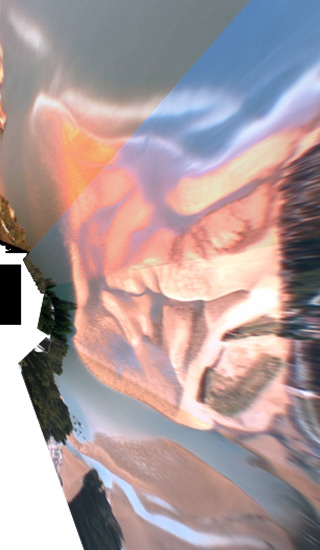
- Panoramic image generation
- Merged and rectified panoramic image generation (where each pixel is projected in real coordinates X,Y)
- Conversion points coordinate: 2D/3D or 3D/2D
- Image animation